Digital Terrain Models
Complete management of Digital Terrain Models (DTM).
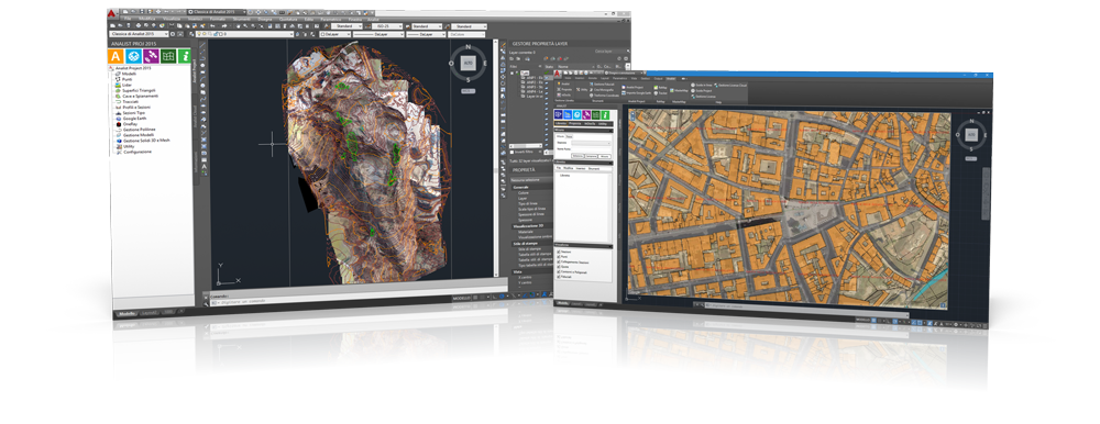
Analist is a top-level software in the field of DTM management. With the integrated CAD, powered by Autodesk, you can work fast, accurately, professionally, and above all, productively.
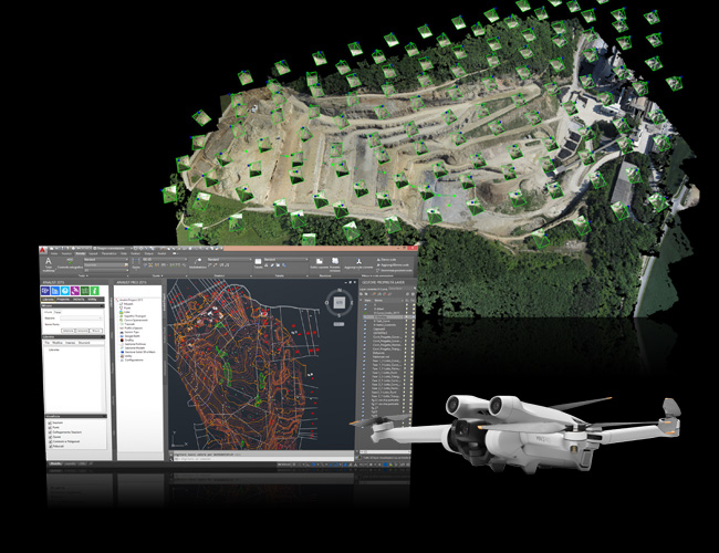
Create the digital terrain model with Pix4Dmapper
The most comprehensive software for processing drone data.
By using DSMs generated from high-resolution images, Pix4Dmapper produces the DTM (Digital Terrain Model). The software is also capable of processing and removing objects on the surface with extreme precision without altering the ground elevation for interpolation.
Complete management of digital models.
Analist has specific functions for DTM.
Analist CLOUD, powered by Autodesk Technology, manages digital models with specific functions. DTM and DSM like you've never seen them before, with impressive graphic quality.
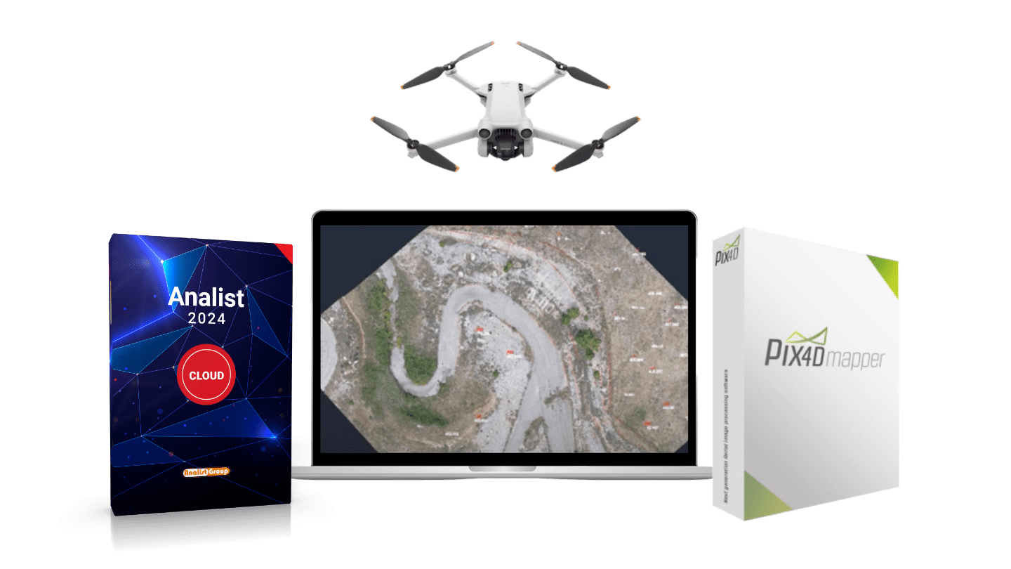
DJI Mini 3 PRO, Analist, InfraPRO and Pix4Dmapper.
Discover the best Solution for Digital Terrain Models
The ultralight drone produced by DJI is the safest and most stable in the series: it flies smoothly, thanks to tridirectional obstacle detection, and ensures high-quality surveying.