The Complete Solution for Quarries
Flight > 3D Model > Data Processing > Animation.
3D Precision Model Generation, Point Cloud and Mesh Generation, Contour Lines, Profiles, Sections, Volumes, and more. Training Course included.
Buy Now - only € 2.427
VIDEO
How it works.
Fly with a DRONE and shoot a series of frames; Generate the 3D models from the photos automatically with Pix4Dmapper; Carry out processing (Level Curves, Profiles, Sections ...) with Analist CLOUD; Create animations of your 3D Model.
Download Technical Details

The Solution includes:
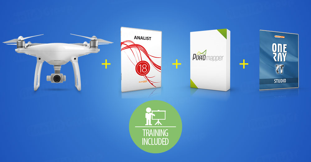
DJI Phantom 4 Pro Drone + Analist CLOUD 2018 12 month Subscription + Pix4Dmapper 1 month + OneRay-RT Studio 12 month Subscription + Training.
Buy Now - only € 2.427
Analist CLOUD
Spectacular Survey Software. Autodesk Technology inside.
Analist CLOUD creates Cross Sections and Profiles, Contour Lines and Orthomosaics. Analist, highly performing software, imports data from Ground Total Stations, GPS, Google Earth. Analist CLOUD is the best tool for generating survey from flights with Drones. It superbly executes point clouds management, aerial imagery processing, survey data management, excavations, cut and fill, and much more. With Analist CLOUD you will work with a Professional Autodesk licensed CAD.
Find out more ►
Quarry Requalification
Great results with OneRay-RT.
Import your OBJ model, insert grass, flowers, trees, characters, shape the terrain and generate awesome animations in minutes. OneRay-RT is the complete solution for everyone.
Find out more ►


